Rosh HaNikra Nature Reserve
Click the title to view map
Site Overview
- Region: Western Galilee
- Biblical Territory: Asher
- Modern Site: Rosh HaNikra Nature Reserve
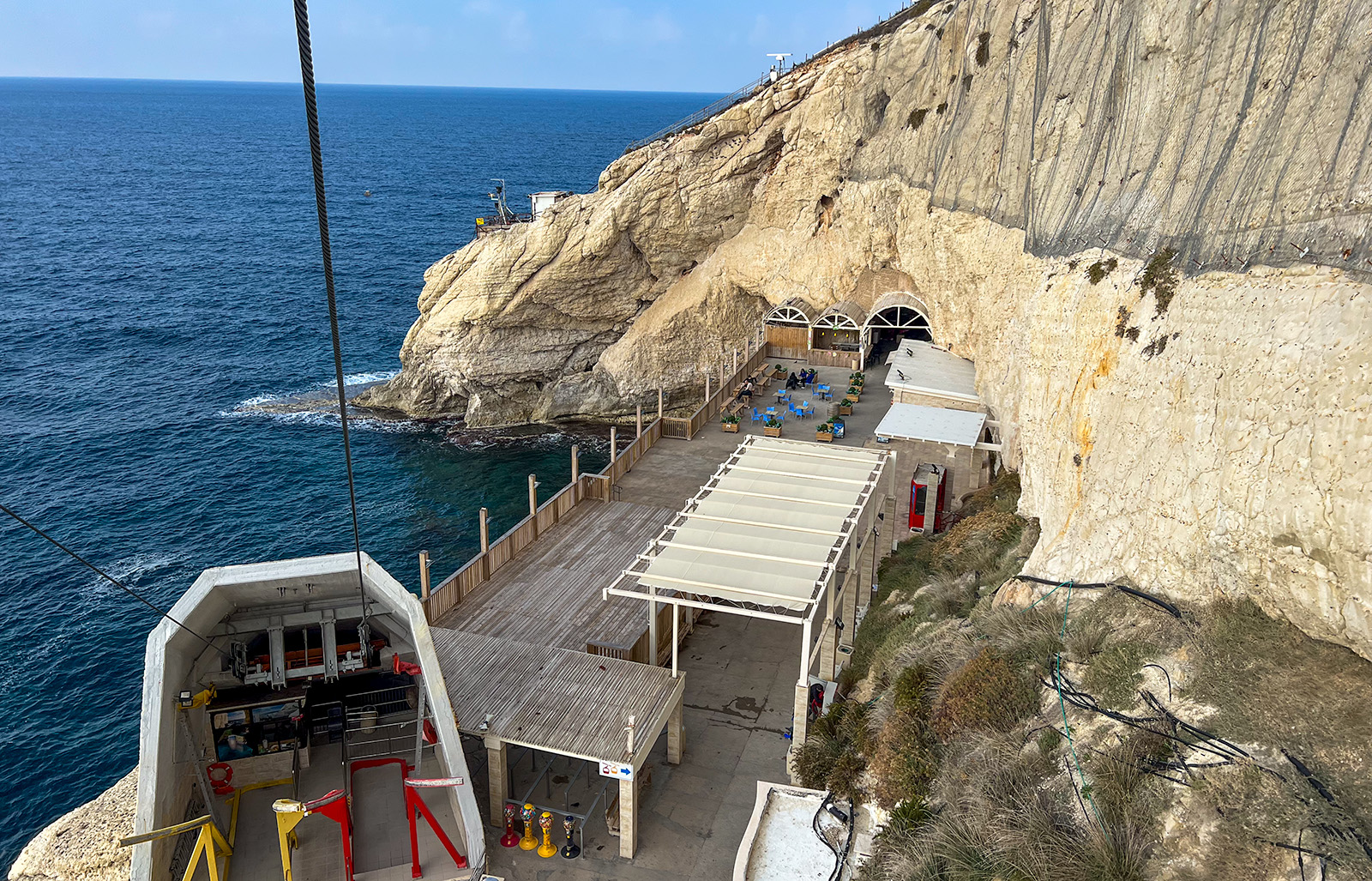
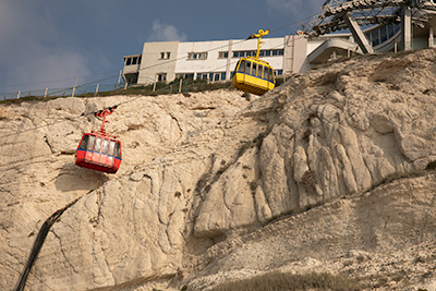
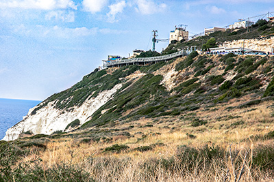
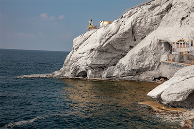
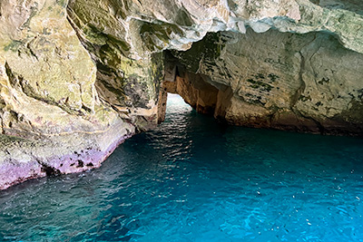
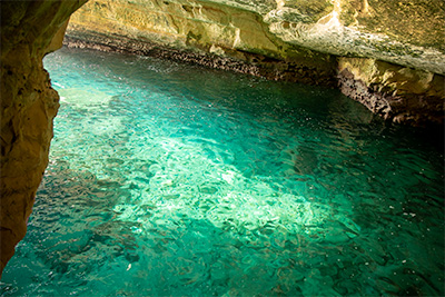
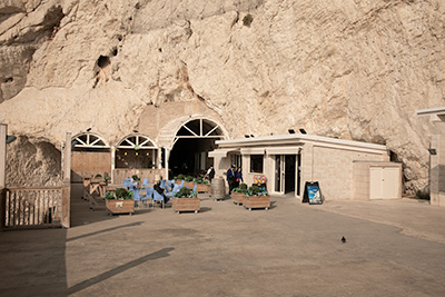
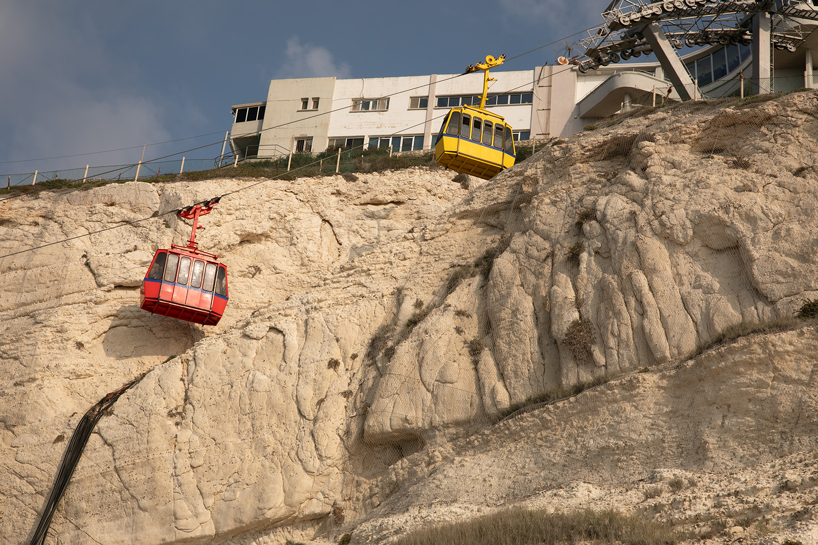
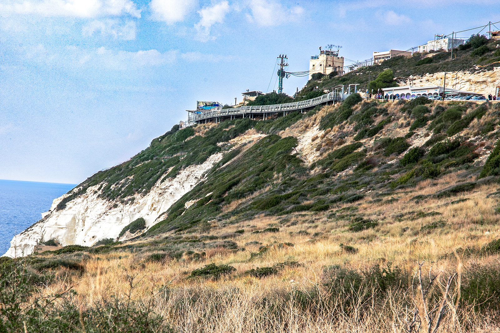
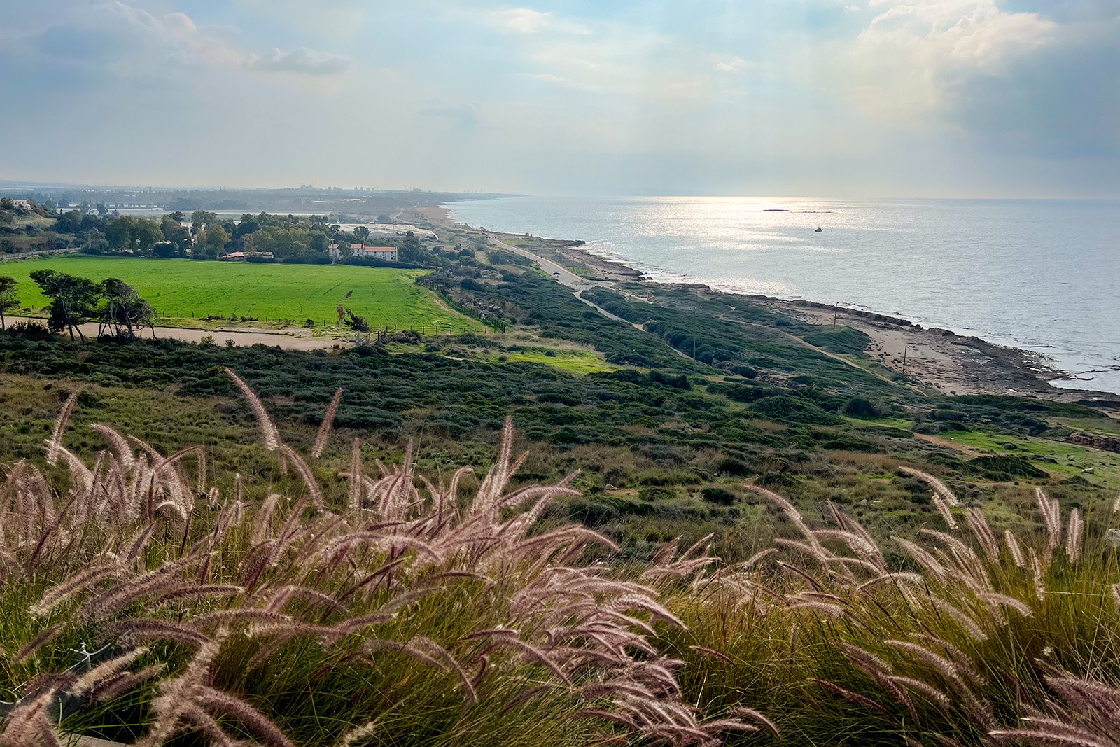
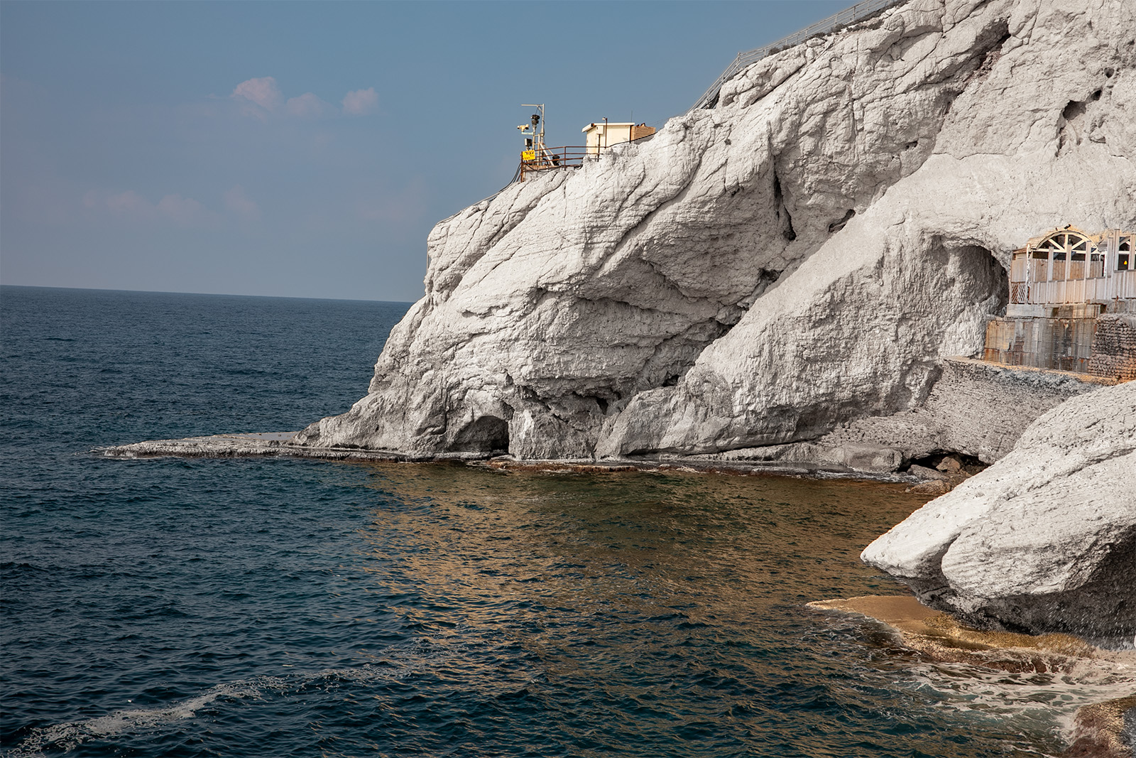
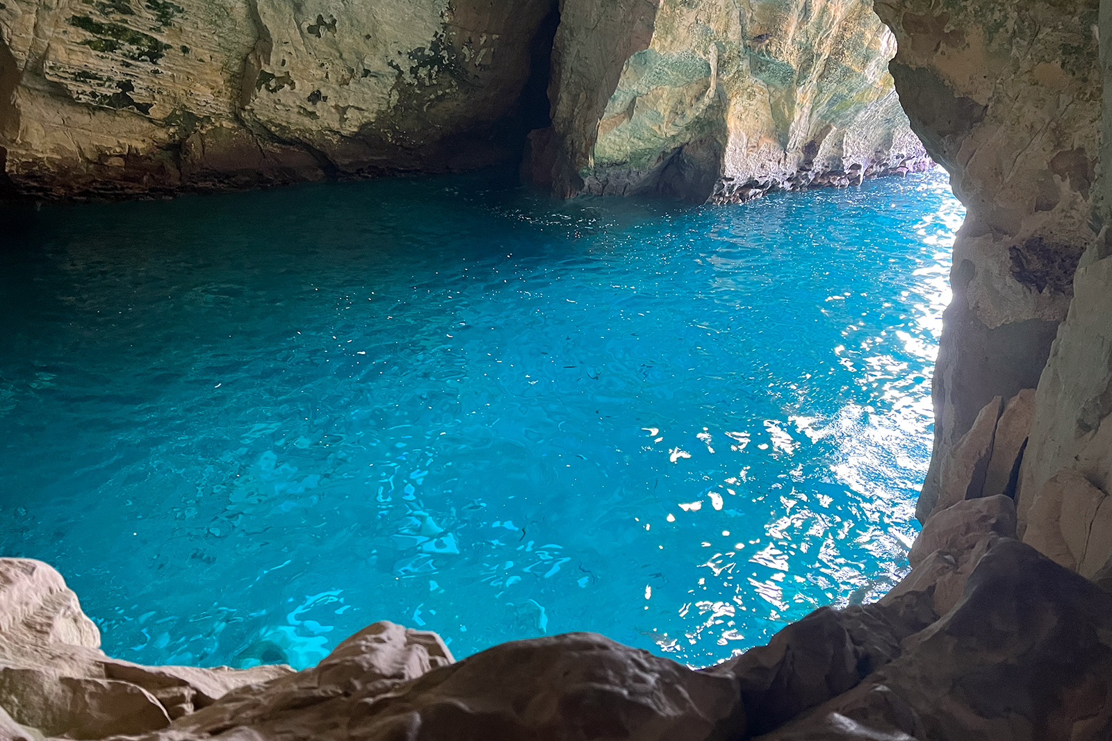
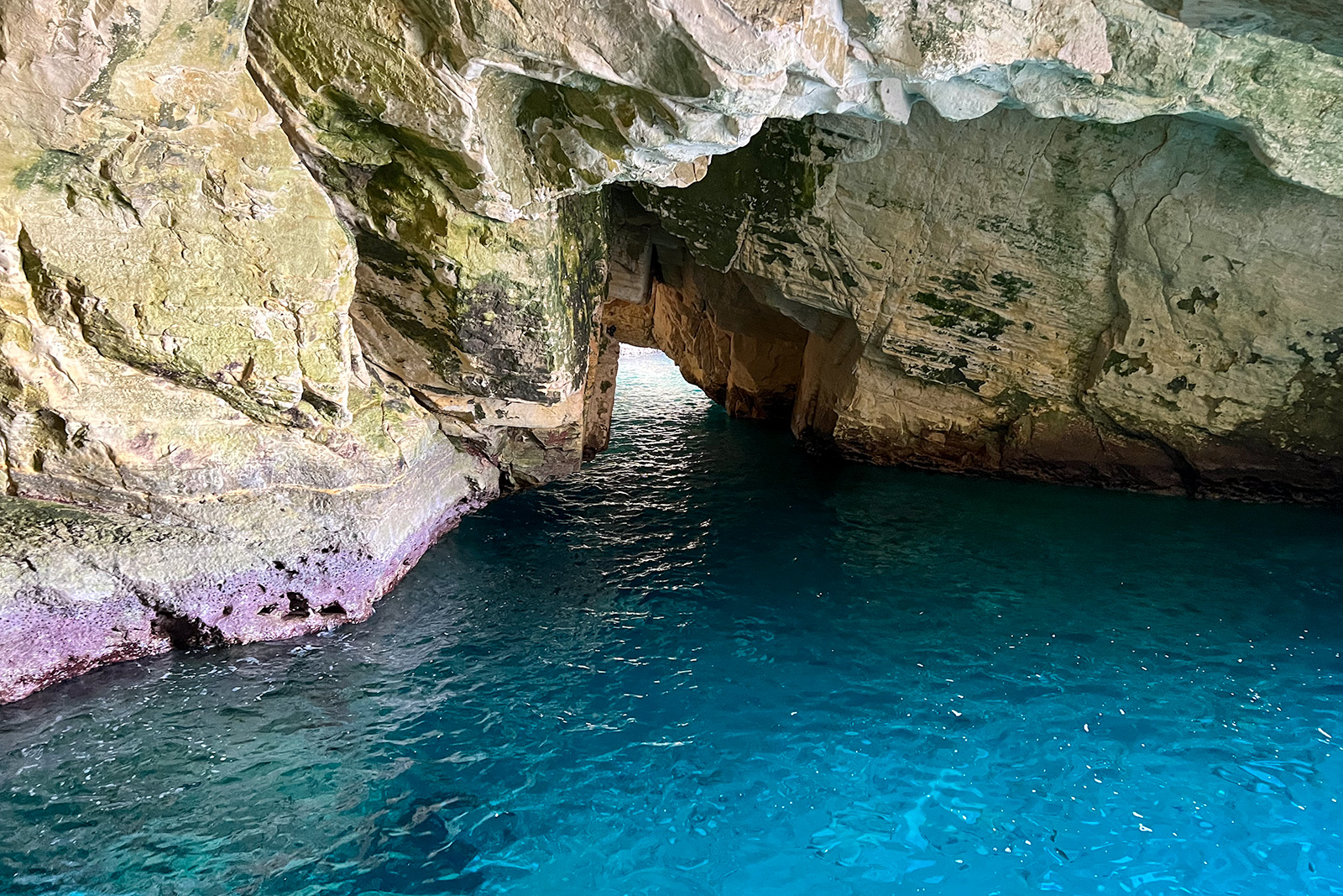
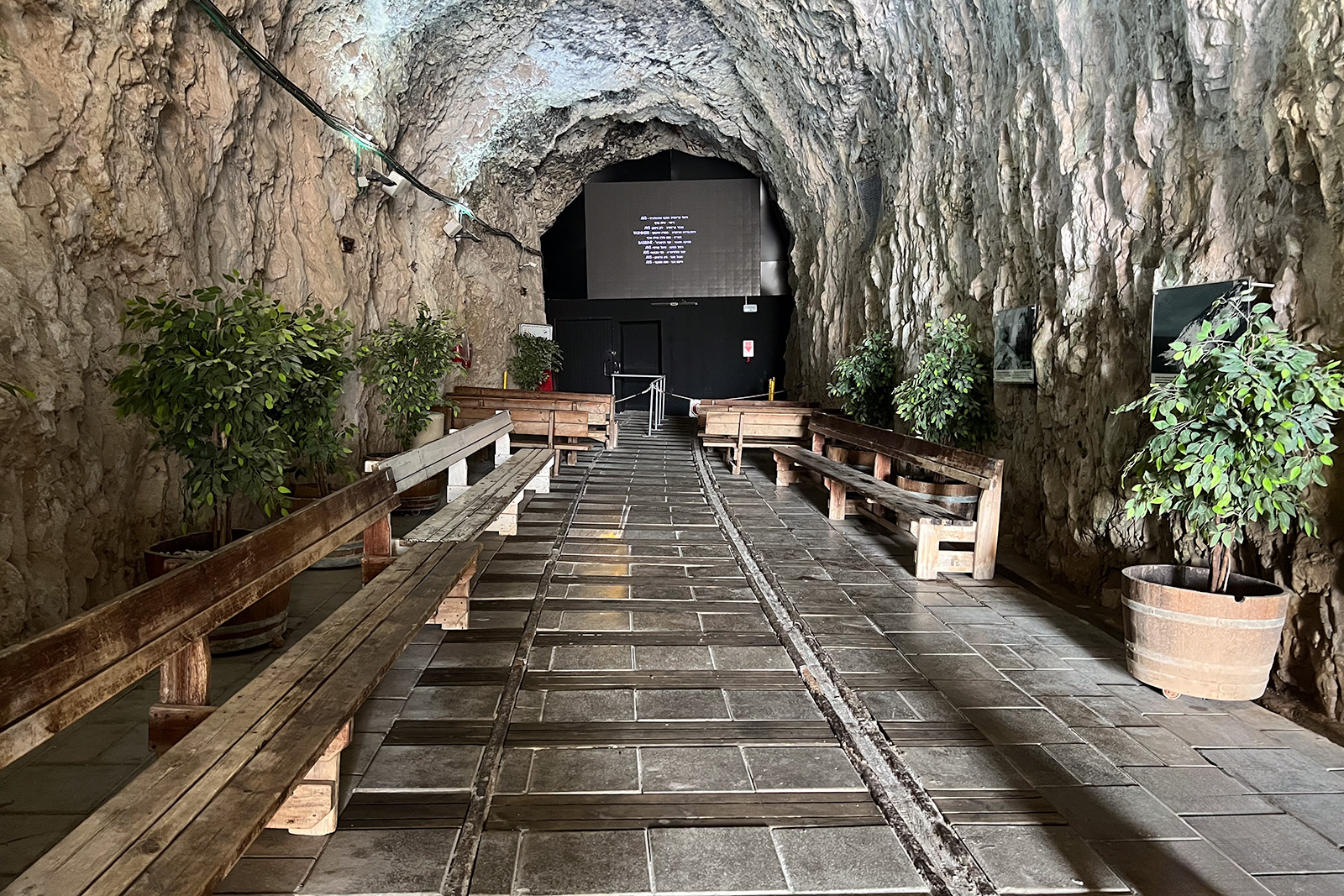
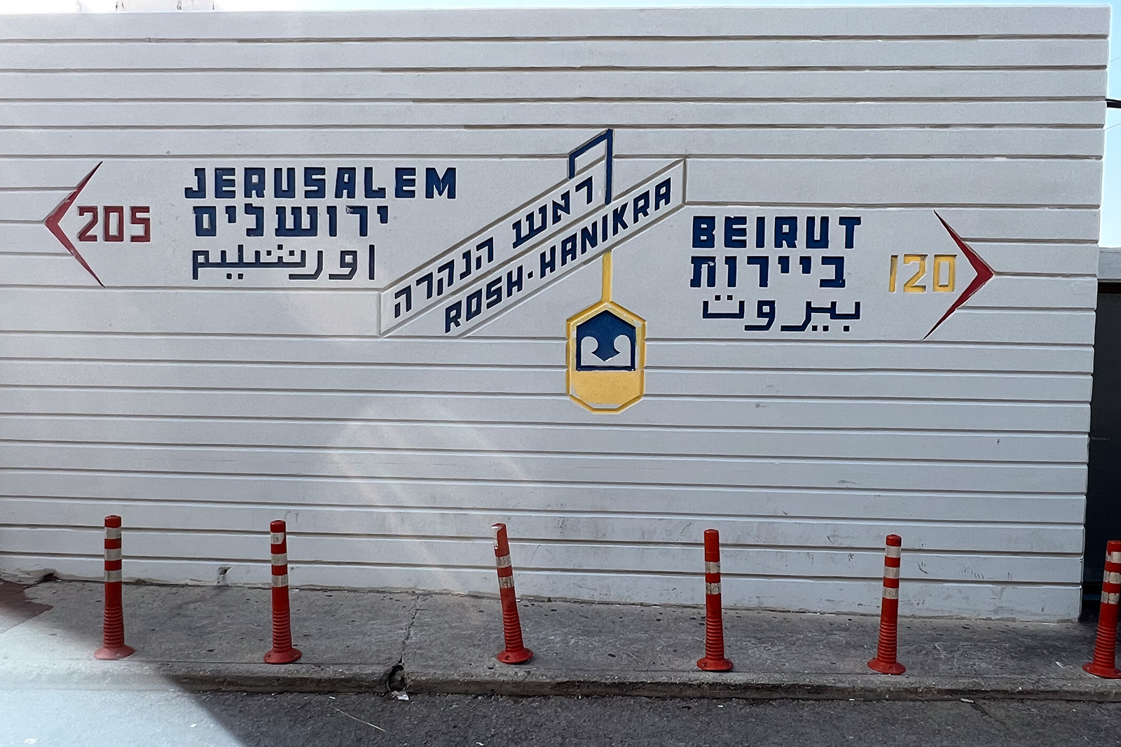
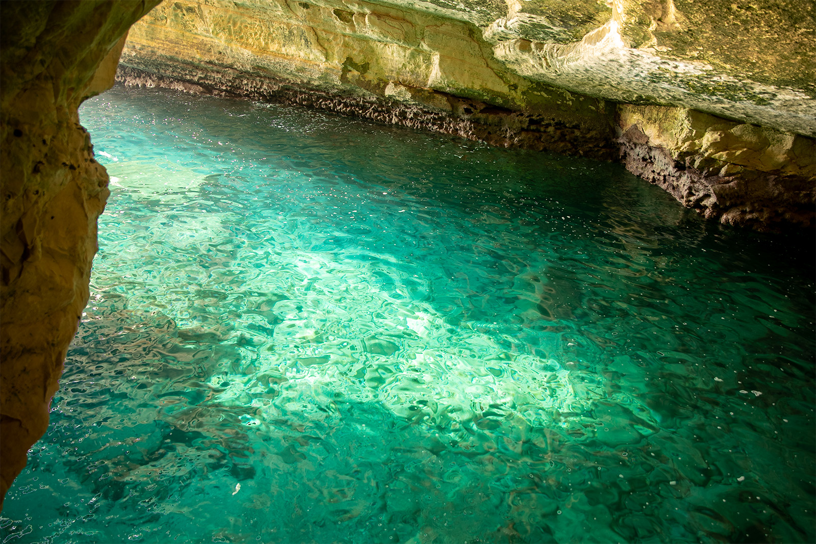
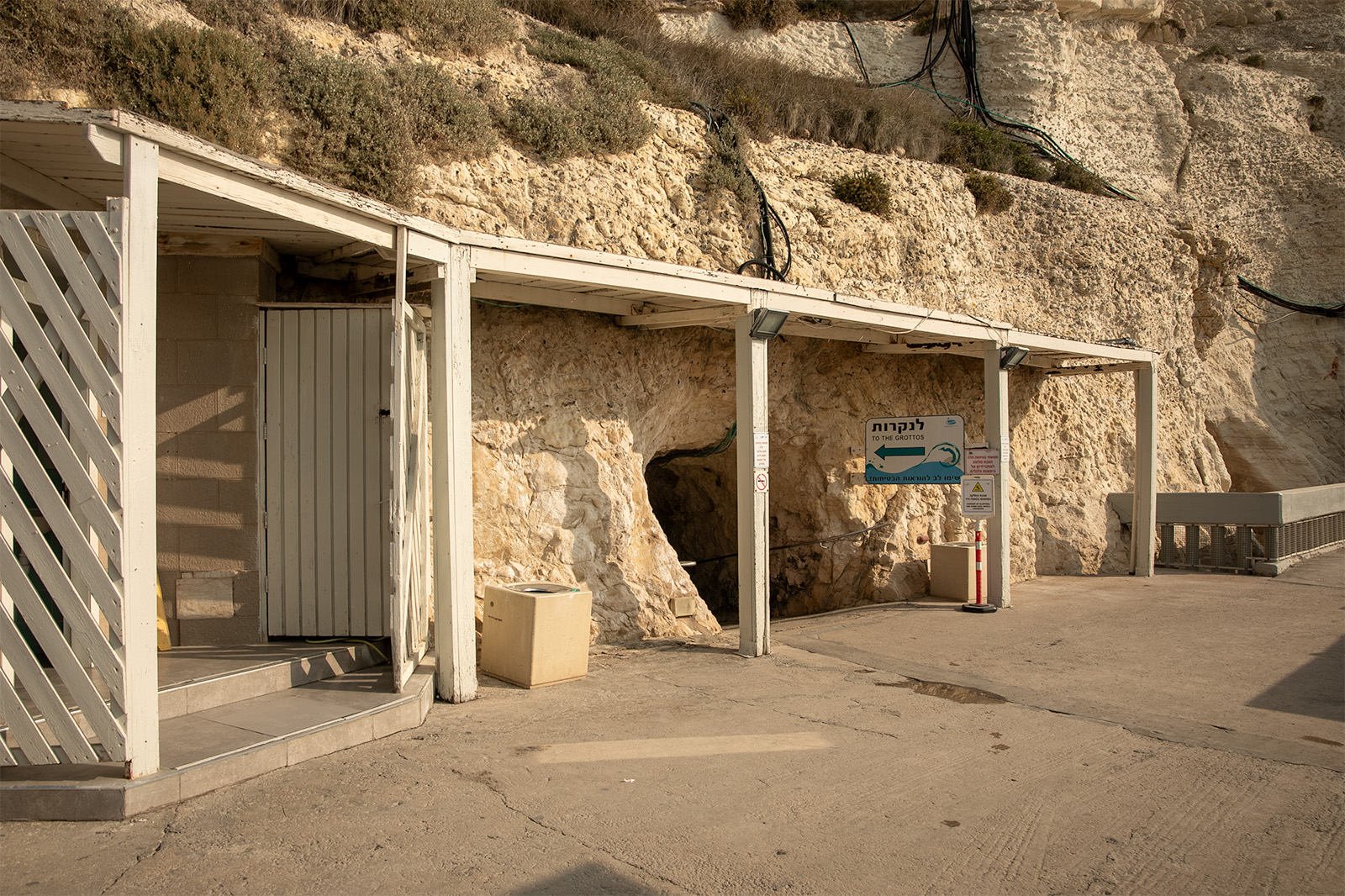
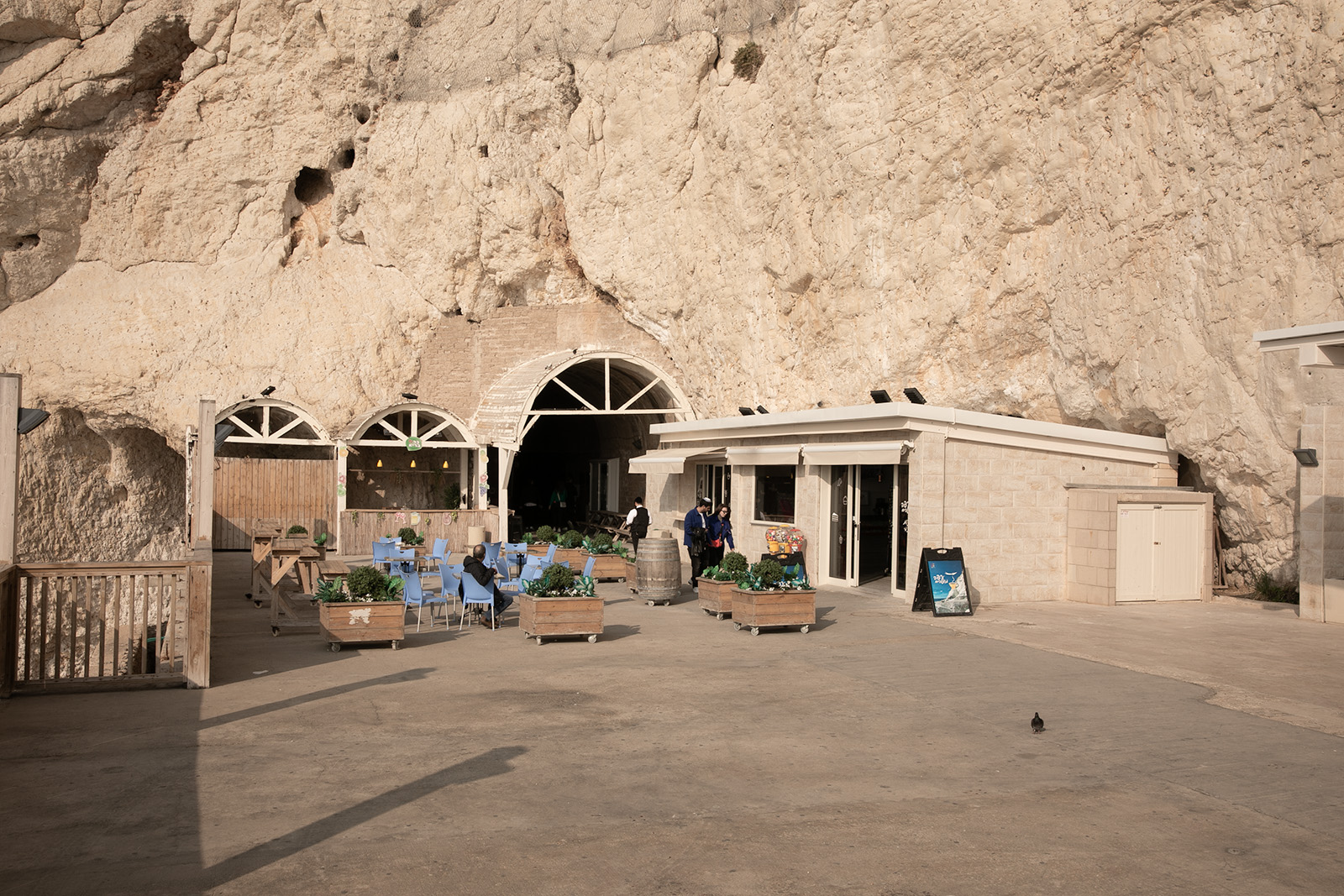
Rosh HaNikra is a dramatic white chalk cliff on Israel's Mediterranean coast at the border with Lebanon. The site is famous for its sea grottoes—natural caves carved by waves into the soft chalk—and for the historic railway tunnel that once connected Haifa and Beirut during the British Mandate period. Visitors reach the grottoes by cable car and can explore the tunnels and coastal scenery below.
History and Geography
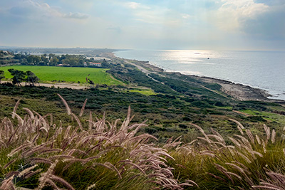
Rosh HaNikra marks the northernmost point of Israel's Mediterranean coastline.For thousands of years, these steep promontories created a natural barrier between Phoenicia to the north and the land of Israel to the south. Travelers moving along the coastal route were forced to pass through the narrow corridors between the sea and the cliffs, making the area an important geographic boundary and strategic corridor.
The site is generally identified with the “Ladder of Tyre” mentioned in Jewish Talmudic sources and by the first-century Jewish historian Josephus. The name refers to a series of rocky headlands that project into the Mediterranean Sea between Tyre and Acco. During the Hasmonean period, the region marked part of the northern frontier of Jewish influence. In 1 Maccabees 11:59, Jonathan the Hasmonean received authority over territory extending northward to “the ladder of Tyre,” highlighting the area's importance as a recognized geographic landmark. The reference demonstrates that the Ladder of Tyre was already a well-known geographic landmark by the second century BC.