Scroll To Top
Scroll To Top

Megiddo Photo Gallery

Megiddo Photo Gallery


Site Overview

Introduction

Tel Megiddo - Water System
Tel Megiddo

Few places in Israel reveal the intersection of geography, history, and biblical prophecy as clearly as Megiddo. Rising above the western edge of the Jezreel Valley, this ancient mound commanded one of the most strategic locations in the ancient Near East. The international highway known as the Via Maris passed below its walls, carrying merchants, armies, and travelers between Egypt and the great empires of Syria and Mesopotamia. Whoever controlled Megiddo controlled one of the principal gateways into the heart of the land.

The archaeological remains span more than five thousand years of history. Excavations have uncovered the ruins of over twenty successive cities, each built upon the remains of those that came before. Visitors can walk through impressive city gates, explore royal palaces and fortifications, descend into an extraordinary water system, and view evidence of the city’s importance during both the Canaanite and Israelite periods.
Megiddo Gate Complex
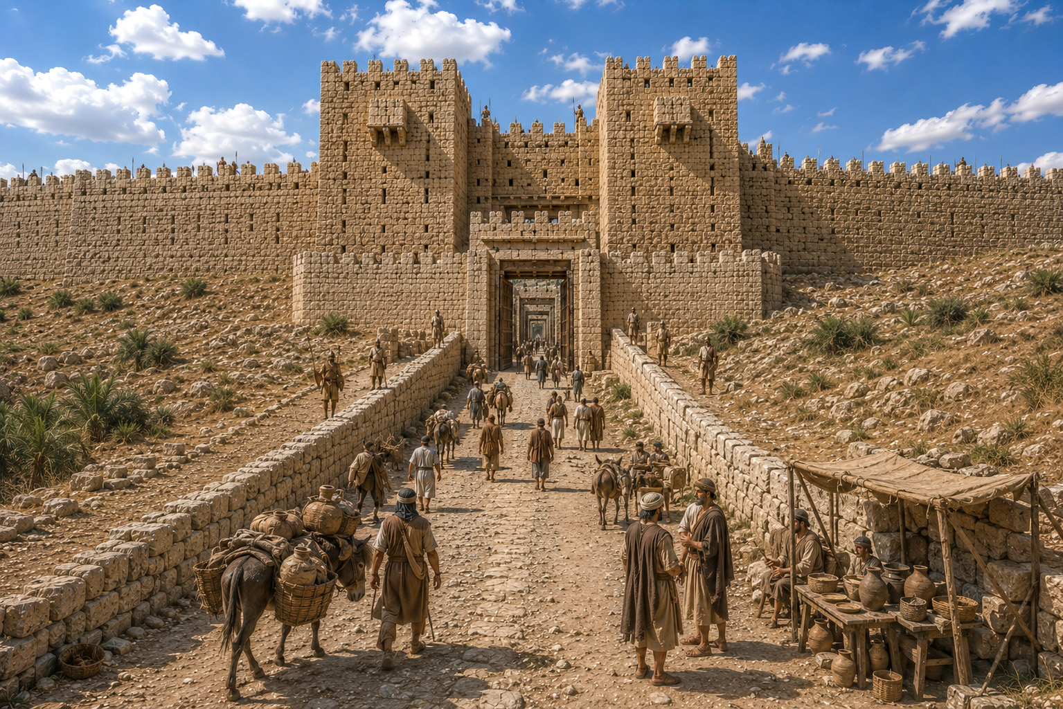
Artist’s Reconstruction of Megiddo’s Six-Chambered Gate (8th Century BC)

Megiddo also occupies a prominent place in the biblical record. It appears in accounts of Canaanite kings, Solomon’s building projects, and the reigns of Israel’s monarchs. From its summit, visitors can look across the Jezreel Valley and identify many of the locations connected with Gideon, Deborah and Barak, Saul, Elijah, and other pivotal events in Israel’s history.

Finally, Megiddo has captured the imagination of millions through its association with Armageddon, the Greek form of the Hebrew Har Megiddo, or "Mount of Megiddo." In the book of Revelation, this name symbolizes the gathering place of the final conflict between the forces of good and evil. Whether viewed as history, archaeology, geography, or prophecy, Megiddo stands as one of the Bible lands’ most significant and fascinating sites.
Slide Presentation Major Events

Major Events at Megiddo

  • Thutmose III defeats a Canaanite coalition (c. 1457 BC) – One of history’s earliest recorded battles, securing Egyptian control over Canaan.
  • Israel conquers the king of Megiddo Joshua 12:21.
  • Megiddo allotted to Manasseh Joshua 17:11.
  • Deborah and Barak defeat Sisera nearby Judges 4–5. Although the battle occurred in the Jezreel Valley rather than at Megiddo itself, the city overlooked the battlefield.
  • Solomon fortifies Megiddo 1 Kgs. 9:15. The city became one of his principal administrative and military centers.
  • Ahab’s royal city – Megiddo flourished during the Omride dynasty and likely housed royal officials and military forces.
  • Jehu wounds King Ahaziah 2 Kgs. 9:27. Ahaziah fled toward Megiddo, where he died.
  • King Josiah killed near Megiddo 2 Kgs. 23:29–30; 2 Chron. 35:20–24. One of Judah’s greatest kings fell in battle against Pharaoh Necho II.
  • Lament for Josiah remembered by Zechariah Zech. 12:11. His death became a symbol of national mourning.
  • Assyrian and Babylonian domination – Megiddo served as an important provincial center during successive empires.
  • Roman Legio VI Ferrata camp established nearby (2nd century AD) – The permanent legionary base gave rise to the modern Arabic name el-Lejjun.
  • Extensive archaeological excavations (1903–present) – Discoveries include monumental gates, palaces, stables, and the famous water system.
  • Armageddon Rev. 16:16. "Har Megiddo" ("Mount of Megiddo") becomes the symbolic gathering place for the final conflict between good and evil.

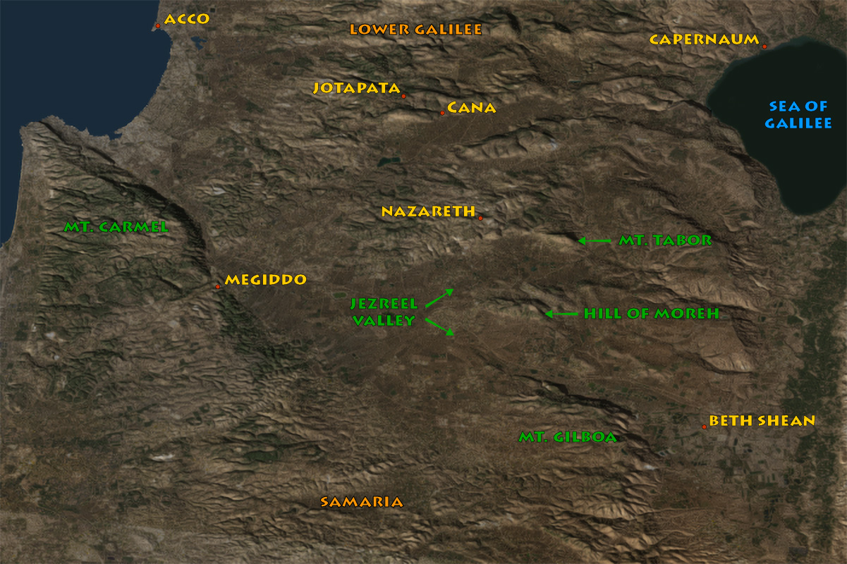
Click the map to hide or show the overlay

Megiddo Map

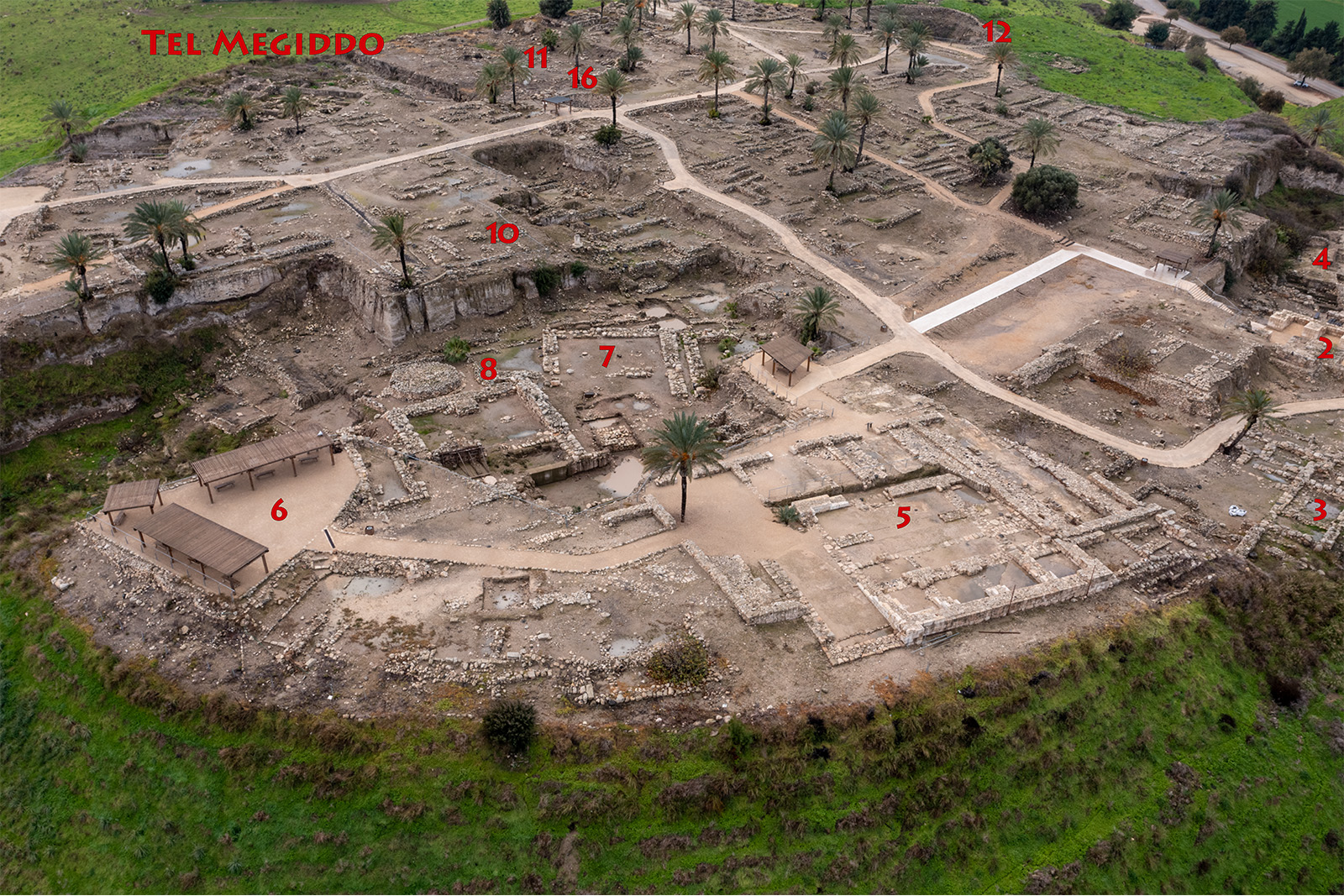
Click the photo to hide or show the overlay

Tel Megiddo

View south: 4–Canaanite palace; 5–Northern Stables; 6–Northern observation point; 7–Northern Palace; 8–Temple area; 10–Israelite Administrative Structure; 11–Southern Palace; 12–Water System; 13–Assyrian quarter; 14–Assyrian Palaces; 16–Public Granary.

Click the photo to hide or show the overlay

Tell Megiddo

View south: 1–Canaanite City Gate; 2–Israelite Gate; 3–Lesser Canaanite Palace; 4–Canaanite Palace; 5–Northern Stables; 6–Northern Observation Point; 7–Northern Palace; 8–Temple Area; 9–Southern Observation Point; 10–Israelite Administrative Structure; 11–Southern Palace; 12–Water System.

Click the photo to hide or show the overlay

Tell Megiddo

View south: 1–Canaanite city gate; 2–Israelite gate; 3–Lesser Canaanite Palace; 5–Northern Stables; 6–Northern Observation Point; 8–Temple Area; 9–Southern Observation Point;12–Water system; 15–Reservoir.

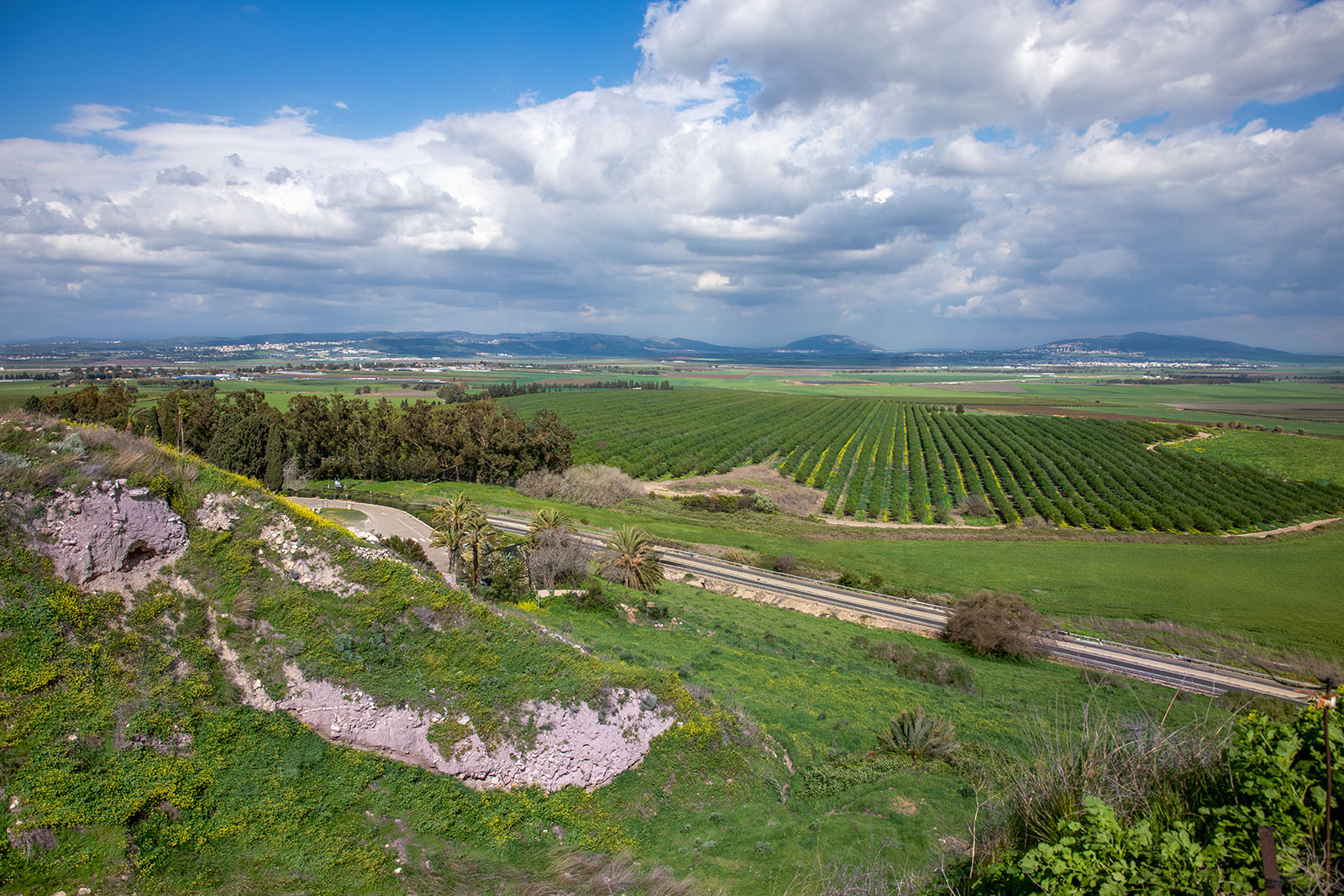
Tel Megiddo

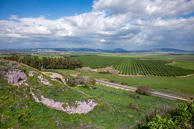
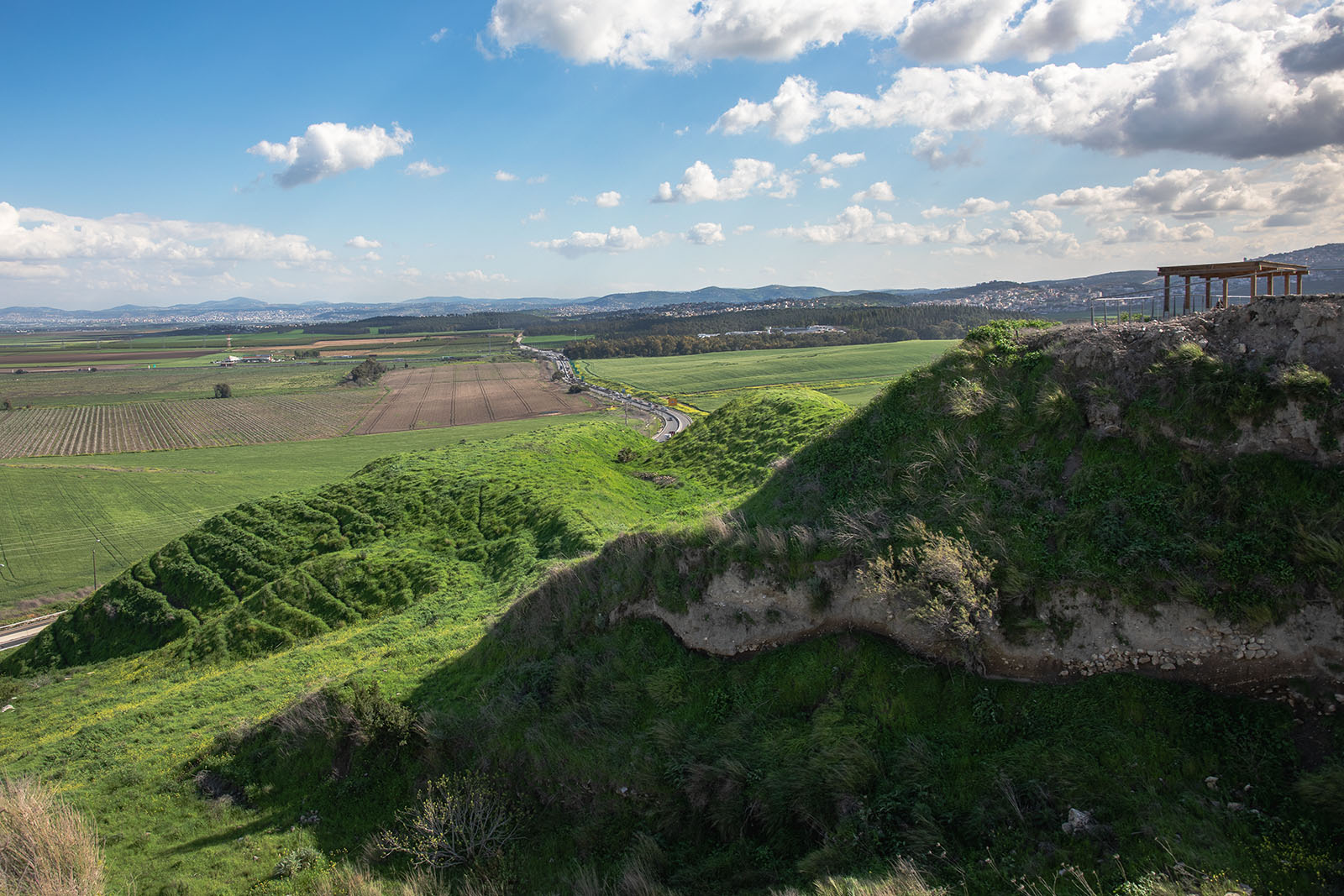
From Megiddo, visitors enjoy a sweeping view across the Jezreel Valley toward Mount Tabor (left) and the Hill of Moreh (right), landmarks associated with Deborah, Barak, Gideon, and many other biblical events.

Tel Megiddo

This ancient precinct preserves the remains of a Canaanite worship complex that served the city centuries before the Israelite conquest. Excavations have uncovered temples, altars, and other evidence of long-standing religious activity.

Tel Megiddo

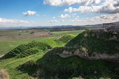
The main road approaching Megiddo from the south closely follows one of the most important ancient routes through the Jezreel Valley. For thousands of years, armies, merchants, and travelers entered the city along this corridor.

Tel Megiddo

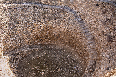
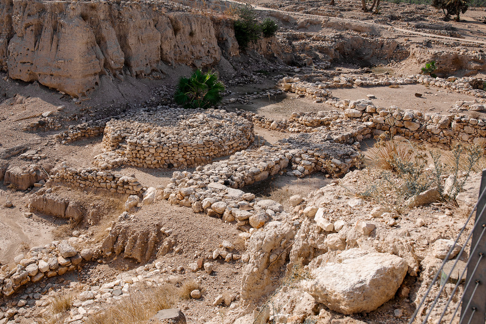
This massive circular structure is generally identified as a public granary. Archaeologists discovered traces of straw preserved between the stones, evidence that grain was once stored here in large quantities.

Tel Megiddo

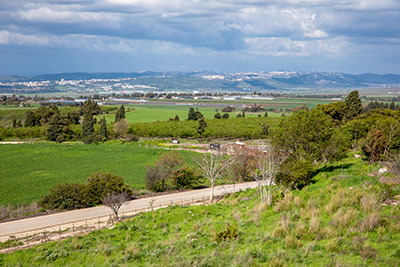
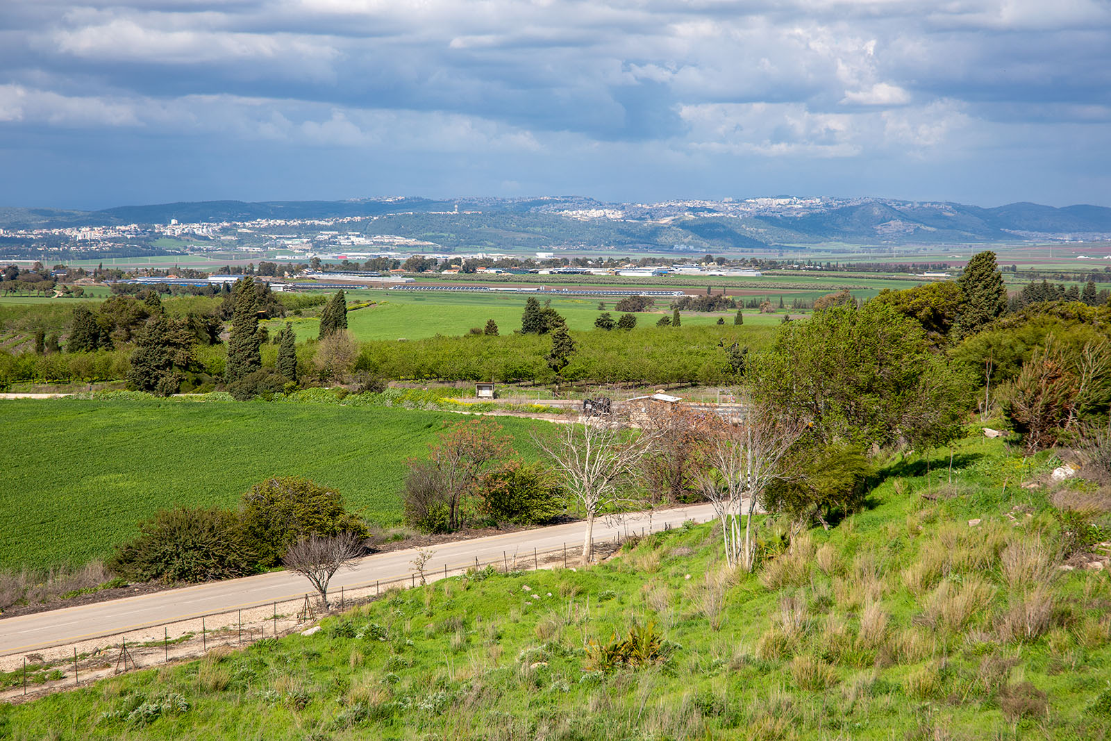
Looking northeast from Megiddo, the fertile fields of the Jezreel Valley give way to the hills of Lower Galilee, illustrating why Megiddo occupied such a strategic position between the coastal plain and the Galilean highlands.

Tel Megiddo

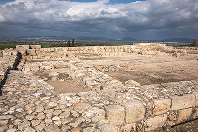
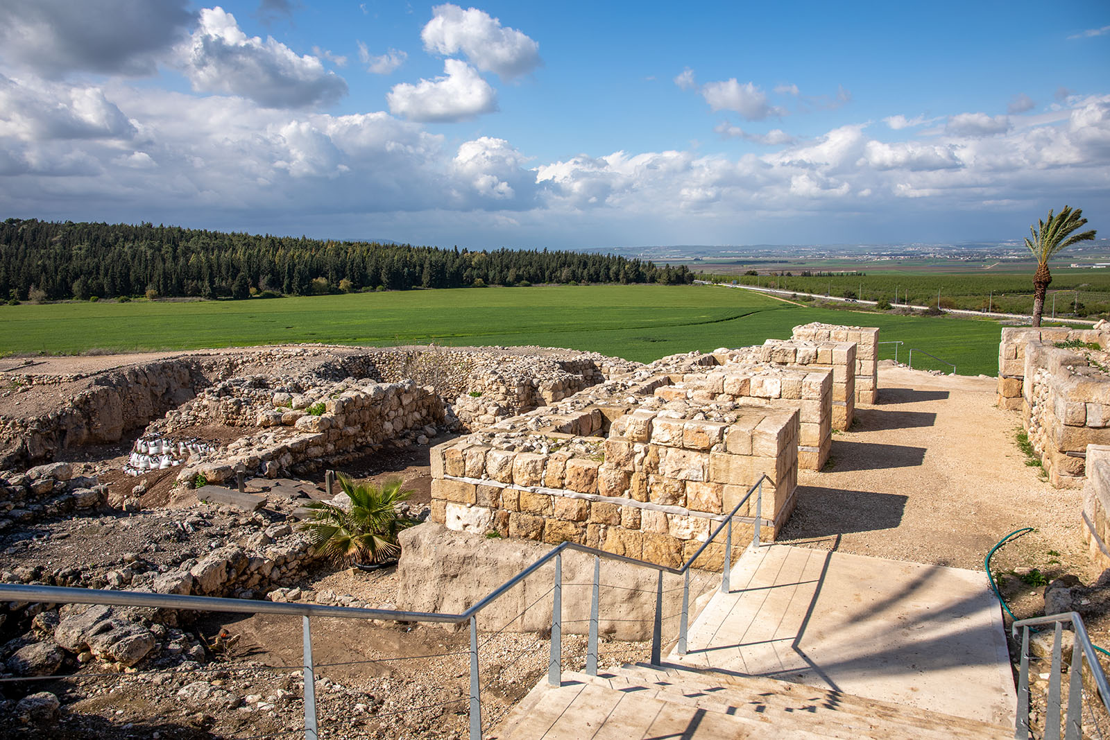
This impressive six-chambered gate dates to the Israelite period and controlled access to the city. From this fortified entrance, Megiddo guarded the strategic route connecting the Plain of Acco on the Mediterranean coast with the Jezreel Valley and the interior of the land. Similar gates at Hazor and Gezer reflect the large-scale fortification projects of the united monarchy.

Tel Megiddo

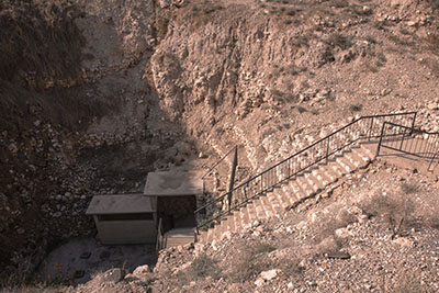
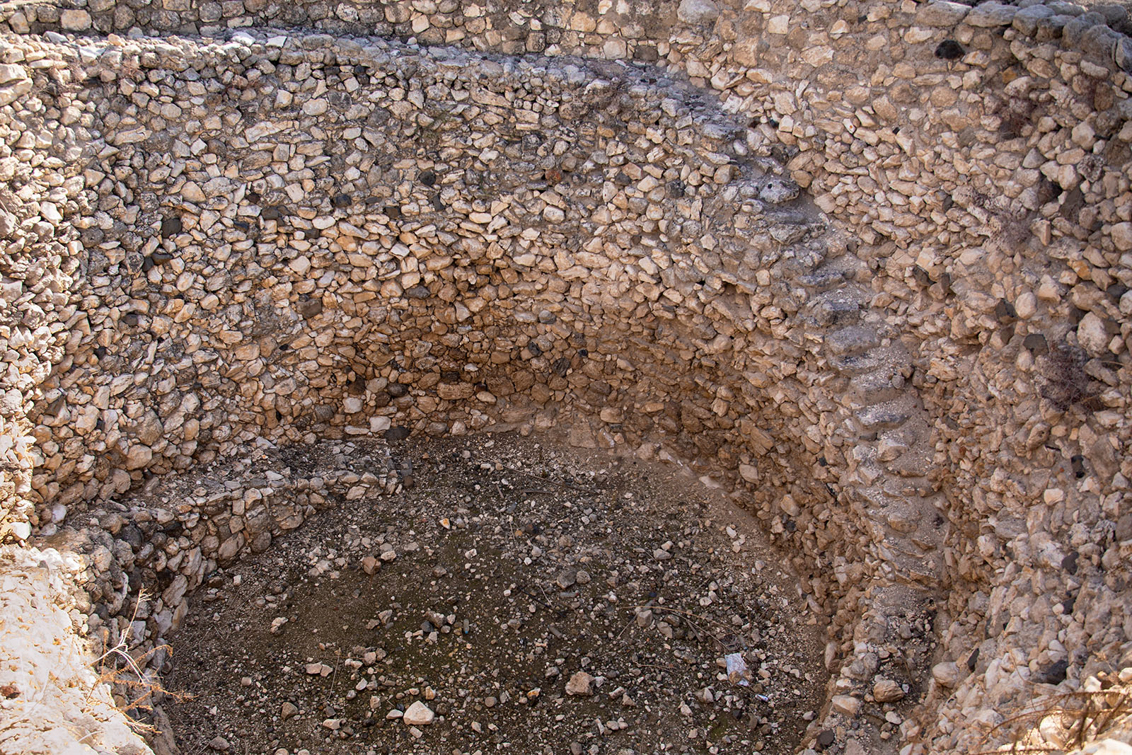
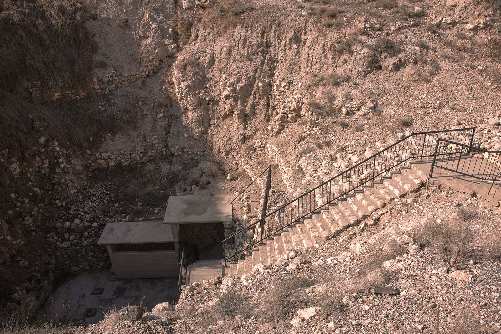
A stairway descends into Megiddo’s remarkable water system, an engineering achievement that allowed the city’s inhabitants to reach the spring without leaving the protection of the city walls.

Tel Megiddo

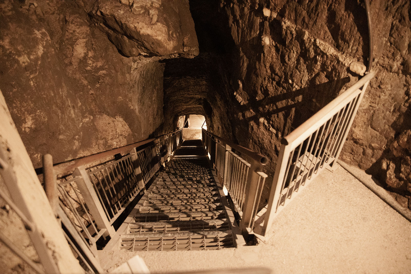
Visitors descend a long flight of stairs before entering the rock-cut tunnel that leads to the city’s hidden water source. The project reflects the importance of securing water during times of siege.

Tel Megiddo

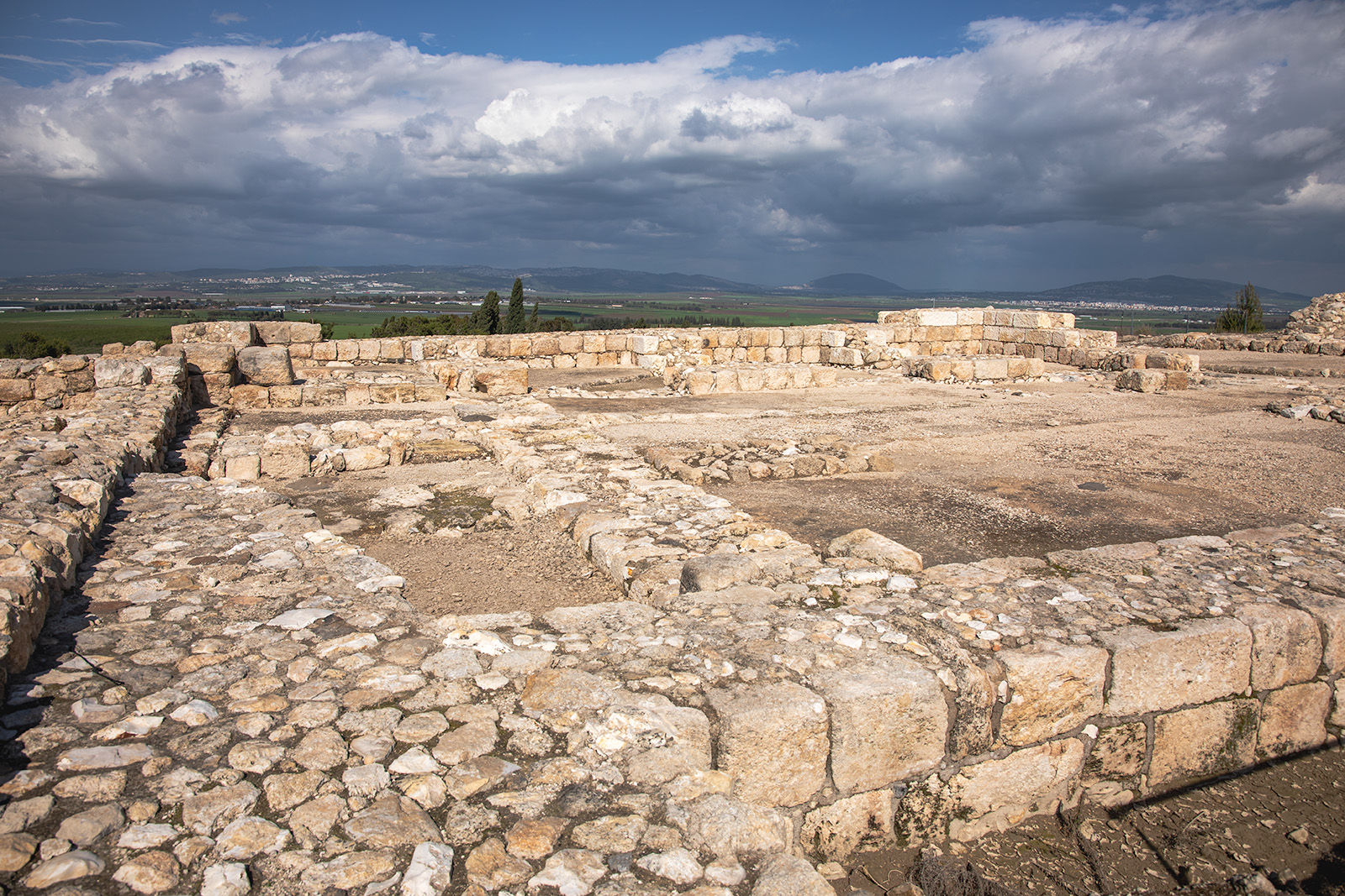
Looking north across the excavated stable complex, visitors can appreciate the scale of Megiddo during the Iron Age. Whether these buildings housed horses or served another purpose remains one of the site’s most debated archaeological questions.

Click the photo to hide or show the overlay

Tell Megiddo

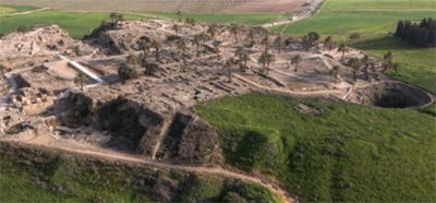
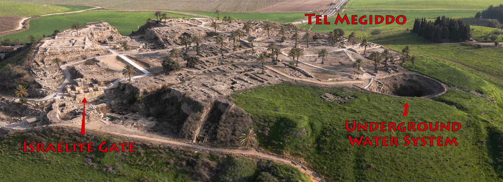
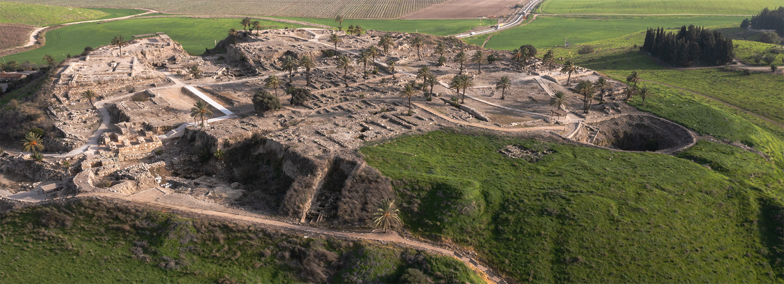
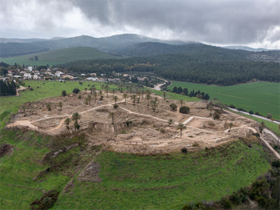
This aerial view of Tel Megiddo shows the city's fortified southern entrance. The six-chambered Israelite gate protected the vital route through the Jezreel Valley, while the large circular shaft on the right marks the entrance to the remarkable underground water system that supplied the city during sieges.

Megiddo Gate Complex

This reconstruction illustrates how Megiddo's monumental gate complex may have appeared during the height of the Israelite kingdom. Based on archaeological remains, the city was protected by a massive six-chambered gate flanked by tall defensive towers and thick fortification walls. Travelers, merchants, pack animals, soldiers, and local officials passed through this heavily defended entrance as they entered one of the most important administrative and military centers in northern Israel. Standing above the strategic pass linking the Mediterranean coast with the Jezreel Valley and the interior, Megiddo controlled one of the ancient Near East's busiest trade and military routes. While details of the superstructure remain hypothetical, the overall design reflects the excavated gate plan and current archaeological understanding of Iron Age Megiddo.